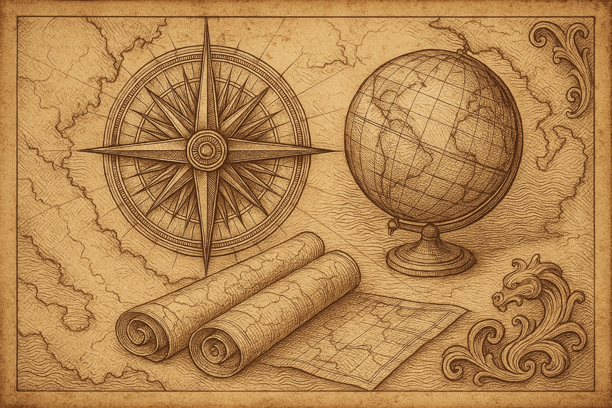
Maps feel like the most trustworthy objects in the room — all those crisp lines and confident borders. In truth, every map is an argument, and some of them are outright fiction. Fifteen questions across three rounds. Commit to each answer out loud before the reveal, keep score, and prepare to distrust every atlas you own.
Round One: Which Way Is Up?
Start at the beginning. What is the oldest known map of the world? It's the Imago Mundi, a Babylonian clay tablet from roughly 2,600 years ago — Babylon sits at the center, ringed by a circular ocean the Babylonians called the Bitter River. The oldest world map ever found is also the first to commit cartography's original sin: putting yourself in the middle.
Next, a vocabulary question hiding a history lesson. Why do we say we're getting «oriented»? Because medieval European world maps put east — the Orient — at the top, pointing toward the earthly paradise. To orient a map literally meant turning it until east faced up. North's reign at the top of the page is a relatively recent management change.
Now the projection everyone loves to hate. Gerardus Mercator published his famous map in 1569 — for what practical purpose? Navigation: on a Mercator chart, a straight line is a constant compass bearing, which sailors would happily trade almost anything for. The price of that trade is size distortion, and here's the number to memorize: Greenland looks roughly the size of Africa on a Mercator map, but Africa is actually about fourteen times larger. Your classroom wall map wasn't lying, exactly. It was negotiating.
Round Two: The Lies Cartographers Told on Purpose
Time for the myth-buster. How many historical maps actually say «here be dragons»? Lock it in, because the answer is essentially none. The famous phrase — hic sunt dracones — survives on just one well-known artifact, the Hunt–Lenox Globe from around 1510, plus its miniature twin engraved on an ostrich egg. Old maps did doodle sea monsters in the blank spots, but the dragon warning everyone quotes is the rarest sentence in cartography.
Real mapmakers preferred subtler fictions. What is a «paper town»? A fake settlement inserted into a map as a copyright trap — if a rival's map shows your invented town, they copied you. The masterpiece of the genre is Agloe, New York, invented in the 1930s by two mapmakers who scrambled their own initials for the name. Then reality called their bluff: a general store opened at the crossroads, named itself the Agloe General Store after the map, and the fake town quietly became a real place. The trap caught the world instead.
Cities get the same treatment in miniature — what's the street-level version called? A trap street: a nonexistent lane, or a deliberately bent real one, tucked into city maps to catch plagiarists. And the digital age added a destination of its own. What is Null Island? The spot at zero degrees latitude, zero degrees longitude — open ocean in the Gulf of Guinea where mislocated data ends up whenever software reads blank coordinates as «0, 0». The only physical thing there is a moored weather buoy, making it the world's most-visited place that no one has ever visited.
Round Three: The Expensive Round
In 1714, Britain's Parliament offered £20,000 — a fortune worth millions today — to anyone who could solve what problem? Finding longitude at sea, the navigation failure that kept wrecking fleets. And who claimed it? Not an astronomer: John Harrison, a self-taught carpenter turned clockmaker, who spent decades perfecting a sea-going watch that kept time accurately enough to fix a ship's position. The scientific establishment paid him in installments and insults; he was 80 before the last of the money arrived, and only after the King himself leaned on Parliament.
Longitude needs a starting line, which brings us to 1884. Which city's observatory won the international vote to host the prime meridian? Greenwich, at a conference in Washington. One holdout worth a point: France abstained and kept its own Paris meridian for decades, only falling in line in 1911 — and even then, by defining its time as «Paris mean time, minus nine minutes twenty-one seconds» rather than saying the word Greenwich.
Last question, and it's the priciest. A 1507 world map by Martin Waldseemüller matters to Americans for what reason? It's the first map known to use the name «America», honoring Amerigo Vespucci — effectively the continent's birth certificate. The only surviving complete copy was bought by the Library of Congress for about $10 million, among the highest prices ever paid for a single map.
Tally your score. If you called the fourteen-times-bigger Africa, the store that made Agloe real, and the near-total absence of dragons, you've earned the right to fold the road map incorrectly and feel nothing.